

Northern Greece – The main chain of the Pindus Mountains separated Northern Greece on two different climatic regions: Thessaly and Epirus.
Thessaly was the largest Greek plain where Pineios flowed. There was the highest mountain peak Mount Olympus, and Iolkus, the large port of the Argonauts. Thessaly was the land of Greek Aeolians, while Epirus was more a mountainous region.
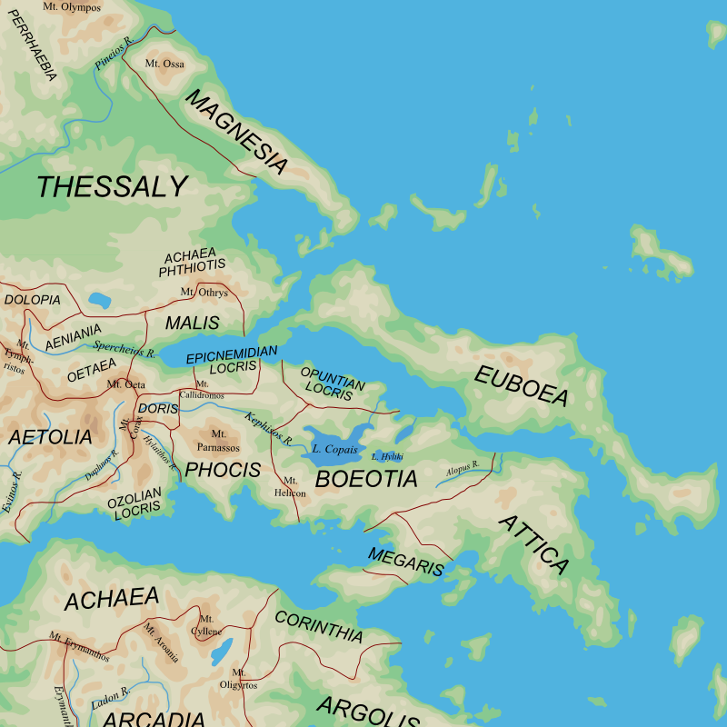
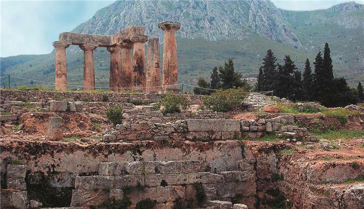
Central Greece – It represented narrow hilly area south of the Thessaly and Epirus and to the Corinthian Gulf. The easternmost part of Central Greece belonged to Ionians, Boeotia to the Aeoliansand all the other regions in this area of Greece were occupied by Dorians (Phocis, Dorida, Locris, Aetolia and Acarnania).
Triangular eastern part of Central Greece, whose shores were washed by the Aegean Sea. It was mainly a mountainous region with small plains.
The main plains in Attica included The Eleusinian Plain, The Athenian Plain, Plain of Marathon an the Mesogaea. Rivers flowing Attica were Illissos and Kifissos. There were three classical areas: mountainous area, plains and coast.
Boeotia – An extensive region east of Attica, from which it was separated by the mountain chain Kithairon. The northern part of Boeotia was in plains, and there was the lake Copais. Through Boeotia flowed Kifissos and Asopus.
Phocis – Dorian area west of the Boeotia, characterized by high Parnassus, on whose slopes were Delphi.
Peloponnese – This area of southern Greece was dominated by mountains from the center of the peninsula, which directed its branches in all directions to the sea. The Mountain Taygetus chain divideed two most spacious regions Laconia and Messenia. In the northeastern part of the Peloponnese was Argolid valley.
The islands – After Crete the second largest island was Euboea, in the Aegean Sea. In the southwestern part of the Aegean Sea the Cyclades were traditionally grouped into the clusters (Delos, Keos, Kimolos, Paros). Between Cyclades and Asia, Sporades were located. Along the southern coast of Asia was the island of Rhodes, while along the coast of Asia closer Hellespont island of Lesbos, Lemnos, Imbros, Samothraki and Thassos were located. In the Saronic Gulf were Aegina and Calauria. Of the Greek islands in the Ionian Sea Korkyra standed out the most.
Save


